Monthly Archives: October 2011
Under Galtee Skies

I attended Jimmy’s book launch last Saturday evening. I had never been to a book launch before, so I was curious. There was huge demand for his signature on the night, and with the demand for the book, all the hardback copies seemed to evaporate. Pictured above is my own copy, and I duly got in line to get Jimmy to sign it.
As to the book itself, excellent photos. Some different perspectives of familiar places, and some of unfamiliar places, places that wouldn’t be on the normal hillwalking path or places where you wouldn’t think to stop and look around.
In his speech, amongst other things, Jimmy highlighted that a major challenge for walkers is how to look after the fantastic resource that is the Galtees (and indeed all our mountain ranges) now, and into the future?
Best of luck with the book Jimmy.
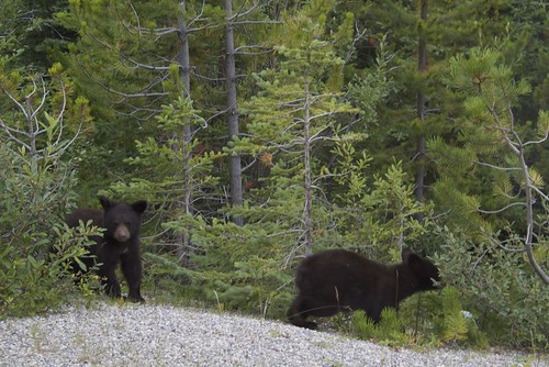
Bear Cubs
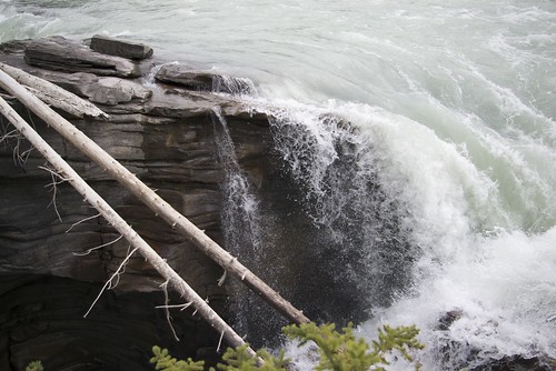
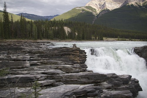
Athabasca Falls
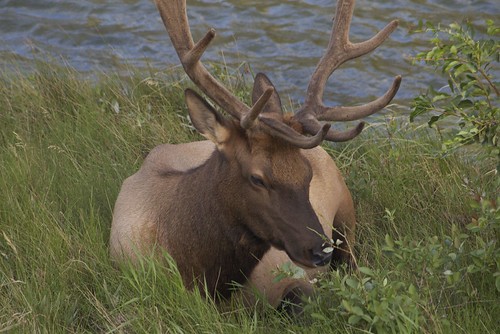
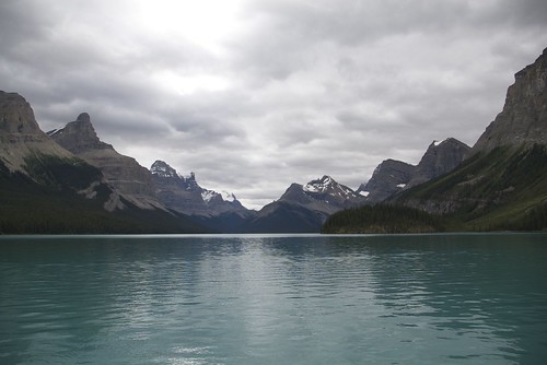
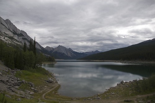
Maligne and Medicine Lakes
Hmm, I wonder.
One day, at the start of the summer (?), I was looking at some of the aerials on our building and wondered what the spectrum was like around the TSSG building in Carriganore, and indeed Waterford City.
I quickly threw together some scripts to see if the Spectrum Analyser could gather the data, which it could relatively easily. We had several students on work placement and I asked Patrick to look at writing scripts to process the data generated by the analyser.
Here is an example of a weeks worth of results in the Civil Aircraft band.

Waterford airport ATIS isn’t as strong as I would have expected on 121.150MHz, however the site is shielded in that direction. All the results are shown here.
I think, at some stage, we will go back and re-do some of the bands with less attenuation, this should allow us to see much more detail down in the ‘grass’. This might let us see more detail in the UHF TV bands as it seems quite sparsely populated.
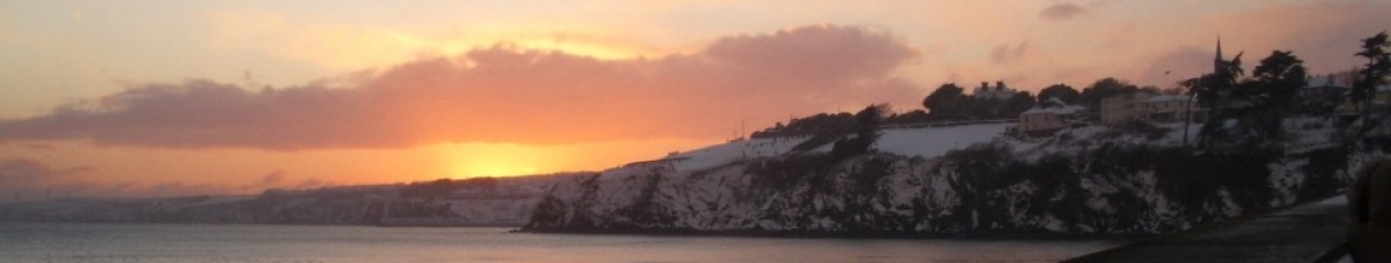
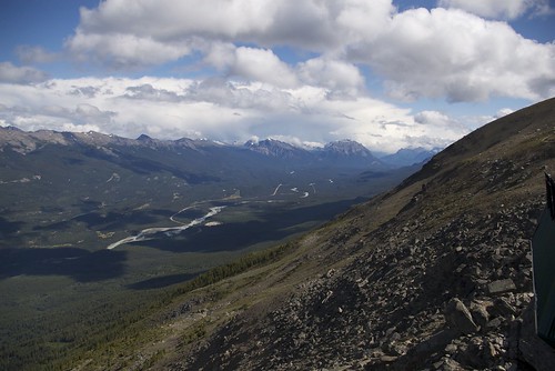
Athabasca River Basin/ The 93/Icefields Parkway
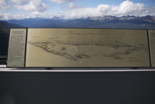
Land above the Trees
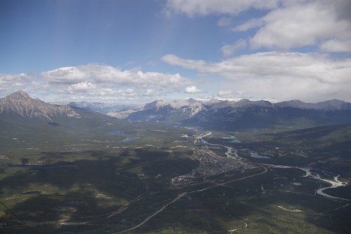
Jasper, Alberta.
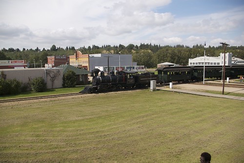
Full steam ahead